
October 11-14, 2007
11th of October 2007
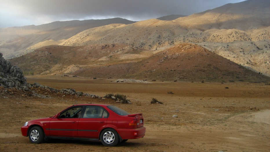
40N 33E
Another bank holiday to be spent on another confluence madness! Fully equipped we set off on the road towards eastern outskirts ofAnkara. That wasn’t easy though due to the congestion in the downtown. Having got rid of the crazy jam we hit the ring road and turned east at the Karapurcek exit. We then started driving neatly across the peaceful and silent orchards of central Anatolia.
After reaching Tatlar village, a dirt road led us until the 300-meter vicinity of the confluence. It was a mere stride to the point.
For our next target, all we needed to do was falling into the highway E 90. The traffic got stuck for an unknown reason, 50 km to Kulu junction where we were intended to turn off. Probably another car wreck, we thought. Waiting for the first ten minutes was fun however, time was passing away and Derya, demonstrating his brilliant driving skills, managed to pass onto a very bumpy dirt road luckily extending parallel to the highway, allowing us to bypass the congestion. After all that hilarious experience, we were again on the road rushing to 39N 33E.
39N 33E
We turned right into the highway D 715 (Konya) at Kulu junction and drove further 13 km due south till our Garmin 60 Csx GPS warned us to take the dirt road turning on our right. The route finder mode of our GPS came in very handy since that road let us approach 1.32 km near of the point. Having left our car, we went in haste all the way to the confluence. We took superb shots of the sunset. There was nothing but the hum of the highway on this vast and lonely plane.Konyaplateau, the largest plane ofTurkeyis certainly making a huge contrast to theTaurusRangecircumventing it on the south.Turkeyis in fact the second largest pasta producer of the world and all the grain including durum wheat for pasta and bread production is harvested across these fields. It was time we moved on to our third point 38N 33E.
12th of October 2007
38N 33E
We went along the highway D 715 to south. It slowly got dark. We had to take the highway D 300 to reach the point. We decided to cut across Egribayat village and Kervan villages down to D 300. Getting phenomenally lost in dark with the added difficulty of misplaced signposts gave us a good lesson: the best route is route you know for sure! Somehow, we made our way to the other highway but neither our GPS, nor our maps and our logic could figure out how it had happened, although we got good directions from the locals. Unfortunately, some of the backcountry roads were incorrectly shown on our sources. We didn’t come across with Divanlar junction, either. Then, we decided to move due east to reachKaradonaVillage. Just before driving into the village we discovered an extremely dusty dirt road to the point. Sadly enough, it got finished until 4.75 km to the confluence. “No problem!” we said, having had a moment of dilemma. It would be a good exercise for us. Moreover, we had plenty of time the next day. We got our bivy stuff and fall into a good night sleep under the twinkling stars.
The reveille was blown at06:30. It was quite chilly at 8 °C when we slipped out of sleeping bags. We had a quick breakfast and set off on our way to the point. Sun was sticking up on the horizon right behind us as we were almost running to our goal. We walked past a crest surrounded with a study fence. Derya said it was called Mt Hodul famous with an endangered species, wild Anatolian sheep. We did not happen to see any of them but were very glad to knowAnatoliawas such a colorful habitat. With the first lights of the day, yellowish leaves and scarlet flowers of euphorbia were in a beautiful harmony with dry slug shells. A level plain like this might seem very monotonous at the first glance but there is always a possibility to notice a peculiar detail for a diligent naturist.
It took us an hour to get there. We did the photo routines and turned back to our car. Having got back, we had a well-deserved celebration with milk and apple juice.
38N 32E
Following the ring road of vastKonya, we got connected to westbound D 330 towards Derbent. We turned right into Derbent at Apa dam. We were going to ascent to 1500-meter altitude. As we got higher, terrain dramatically transformed into sheer flanks of sedimentary formation adorned with oak, pine and cedar trees. All tones of red, yellow and green had us enjoy the beauty of the oncoming autumn. Upon arriving in the town center of Derbent, we directly diverted into north taking a dirt road. We got to the CP as near as 834 m. We climbed about 100 meters among the bushes of medlars, junipers, berberis, azaroles and cornflowers. The CP was situated on a dominating hill looking out on the environs as well as Mt Akdag (~ 2300m) due south west. We returned and got headed towards our main aim within the whole project, 37N 32E.
13th of October 2007
37N 32E
This CP looked impossible to both of us at the glance. According to previous attempt and its photos as well as our maps it was like very remote corner ofTurkey. Therefore, we had diligently studied our approach route before setting off. Having dug all our material, we realized focusing on an access via Akseki and Çimi Köy was much more sensible. We eventually spotted a garden on Google Earth full of poplar trees at 1700 meters. The garden was connected to Çimi village by a reasonably good-looking road and it was only 5.75 km away from the confluence. We then spent ages to make up our minds to follow which particular route to the point since there seemed spooky sheer walls on the way up to the CP. Still our undertaking was uncertain due to unknown condition of the road and difficulty of the walls we might need to tackle. Moreover, the point was almost on the top of a 2600-meter summit.
After 38N 32E, we hit D 696 cutting across beautiful Turkish countryside and made our way to Akseki, a modern and quiet town in the midst of the mountains. We turned right into Çimi way at the very first junction of the town center. Shortly after reaching the village, we found ourselves driving on the country road to the pasture. A short hesitation ended up with turning right at a junction further up and soon we were going to scream having seen our beloved poplar treegardenofGoogle Earthright in front of us. Garden was indeed located on an amazing plateau surrounded with rockyTaurus Mountains. We found a just built small wooden cottage, where we decided to park and spend overnight.
We went on a short stride to shoot the beautiful country. Then, we sat around our bonfire enjoyed the millions of stars in the sky. We drew the most sensible route on the laptop and uploaded it to our GPS. We also determined which way to follow looking towards the terrain we were going to climb the next day. We both were pondering what adventure we would be up to.
We set off at 07:20. The region was really remote. We were probably the only human beings within the 10-km2area. We had a full 800-meter altitude gain to reach the point. Luckily, the rocky slopes were quite steep but not technical allowing us to reach the CP in 3 hours and 20 minutes. It was really a great feeling to bring it off having dreamed about it for so long. We were so content to have discovered the highest and probably the most difficult CP so far in Turkey. It was time to get up the nearby summit as well. As far as our GPS indicated, it was at 2670 meters and that it was one of the highest within the area. We therefore named this mountain as “Peak Confluence”. We wrote a few words about the confluence project as well as our names and contact details on a paper and left it in a metal box on the top.
Having not been very promising even early in the morning, the weather went really bad. It was now gusting with winds forcing us to wear whatever we brought with us. We could see the pouring rain on the horizon and it was coming up closer to us! We rushed back to our car. The views, by the way, were just so superb all around us. The wild flanks of karstic mountains were full of holes making them an impossible ordeal to proceed on. Several hundred-year-old juniper trees were further furnishing the rough and scary terrain leaving no chance for human existence. It was joyful to follow any route we liked to, as we that time had no responsibilities over anyone. Awaiting next target was near the south coast.
37N 31E
We must have run out energy because of the vigorous ascent. Therefore, we found ourselves attacking towards our grilled muttonchops in a countryside restaurant. Afterwards, a 71 km drive took us all the to 30 m vicinity of 37N 31E found near Silion ancient site. It was only few strides to step on the CP. Was that a joke?
A pint of celebration beer wouldn’t have been had at a better spot: windy and wavy beach of Belek. Another piece of beauty, Eğirdir Lake with 38N 31E was ahead.
14th of October 2007
38N 31E
Just before getting toAntalyawe diverted to D 330, which would take us up north. The strong lightening flashes revealed the beauty of the mountains making us realize that there was no point in missing that beauty by driving in dark. We pulled over on a turn out and fell into a tight sleep with the sound of heavy rain.
It wasn’t raining any longer when we got up. The greenlakeKaracaorenwas however, still foggy.YazılıCanyonwas on our way and said why not go for it? A very winding lane delivered us to the narrow entry of the canyon. We not only fell in love with the tempting limpidity of the water ponds but also the white and smooth looking formations that swift water worked out over thousands of years. It was surely a dramatic and special place to be seen in our country.
It was high time we got back on the move to our point. It was an easy peasy job to find Yesilkoy village located very the point. According to the directions we gad from the local café, we were supposed to follow a bumpy road first extending a few kilometers in the direction of south and than north directly towards our CP. It was only 900 meters when we parked our car. Spiky oak bushes were of course a headache but we succeeded in finding a well-beaten trail taking us all the to the point and without hitches. On the way we ran into several Shepard dogs that immediately started vigorously barking at us. But, we showed so much affection that they decided we weren’t enemies and walked all off. As for the CP, it was really one of the most beautiful spots on earth. The views ofLakeEğirdir,Mt.Barlajust behind and lash green country with oak trees were altogether looking like a heaven. It was almost15:00and we needed to carry on. We’d see if we could reach 39N 32E before it got dark.
39N 32E
It was going to get dark in few hours and we had a long way ahead to get there. We arrived in Yüzüklü village via Yunak town on D 695. There are two turn offs to the village. From our direction, the first one we were meant to take was signposted as “Suluoba”. Hesitation of a few minutes ended up with going for it (taking a risk as we had no time left). We couldn’t have even run the last 4 km distance from the village before the night fell. Therefore, we desperately needed a road remedy. Just before entering the village luck was again on our side as we found a cool dirt lane towards the point. We were very excited since we didn’t know how far it would go. Both of us were staring at the GPS slowly counting down the distance. “Enough is enough!” said Derya when there was only 700 meters to the point. We ran with all our might and managed to shoot all the directions as well as the GPS coordinates with adequate daylight.
8 out 8 good job dude! We were very happy to have successfully completed another project. To be honest, it was just great time. The only thing left was to celebrate it inAnkara!